McDonalds Mountain
| Elevation | 1032 metres |
| Prominence | 191 metres |
| Location | -33.0437, 149.9846 |
| Region | North-West |
| Points | 6 |
A long thin mountain surrounded on all sides by sheer sandstone cliffs. The top is quite open, allowing great views in all directions. The three summits of McDonalds Mountain are almost exactly the same height, with the central summit being slightly higher than the other two. The basalt soils support a herd of feral goats.
Driving directions
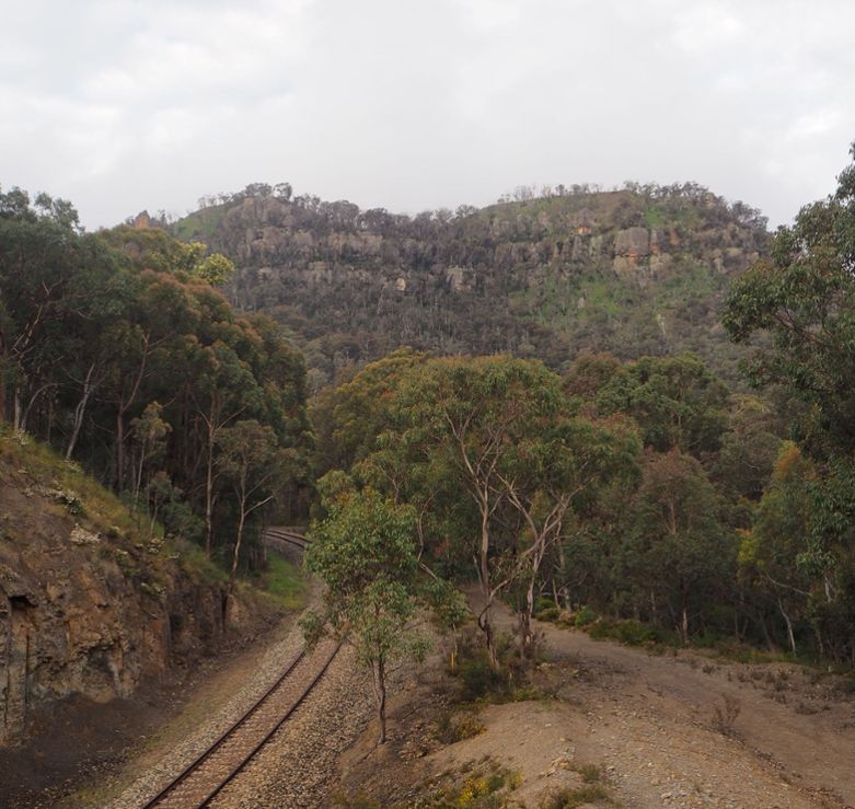
From Capertee, drive north 10km along Castlereagh Hwy to McDonalds Hole Road. Follow this dirt road toward the railway line. This road seems to be particularly poorly maintained, and I would recommend stopping and walking after about 2 km. Keep following to the end of the road (about 3.5km from the highway)
Directions to the summit
1. Enter the forest and follow the roads toward the rail line.
2. Follow the rail line for around 2km till it enters a tunnel. For safety, walk along the fire trail on the south side of the rail line.
3. There is a fire trail on the north side of the rail line 75m before the tunnel. Follow it up hill.
4. At the saddle, leave the trail and climb the hill up to the base of the mountain. Head anticlockwise around the mountain for about 200 metres. After you pass some caves in the base of the rock, there is a grassy ramp heading straight up the mountain.
5. Climb straight up the mountain, heading slightly around to the left. Once at the top, head south-east to the first (northern) summit. This is an open grassy area with good views in all directions.
6. Head down south east to a saddle, with large rocks blocking your progress.
7. The easiest route is around to the north side of the rocks. Once clear of the rocks, climb up to the summit.
8. The summit is grassy and relatively open. There is a good lookout about 170m south of the summit. There are some other lookouts 100m north of the summit. Return the way you came.